Large and medium operators must comply by 30 December 2026; small operators by 30 June 2027. If you are placing DR Congo cocoa on the EU market, the geolocation burden lands on you. Here is exactly what we hand over so it does not become your problem.
Under the EU Deforestation Regulation, the operator who first places cocoa on the EU market must file a due-diligence statement and hold high-precision geolocation data tying the product to specific plots of land, plus evidence of legal production in the country of origin. Downstream traders no longer resubmit — accountability concentrates on the first placer. In practice that means your supplier either gives you plot-level data you can defend, or you carry the risk.
European Commission implementation guidance and the December 2025 simplification amendments.
Polygon geometry for every plot contributing to a lot, in GeoJSON, delivered with the shipping documents. Points only where a plot is under 4 hectares and the regulation permits it.
A mapping file linking each lot code to its contributing plots and farmers, so a container can be decomposed back to source.
DRC Ministry of Commerce registration, valid export licence, and land-use documentation for the plots in the lot.
Written attestation covering the cut-off date, supported by the plot geometry for your own satellite verification.
Names, plot references and cluster for the growers behind the lot, subject to data-protection handling.
We answer your compliance team's questions directly and will complete your supplier questionnaire rather than sending a brochure.
Tick what your file already contains for DR Congo cocoa. This runs entirely in your browser — nothing is sent to us.
Thirty minutes with our export desk and the person who runs our plot register. Bring your questionnaire.
Request a compliance callCountry risk classification is set by the European Commission and is reviewed periodically. Rather than rely on a benchmark that can change, we supply plot-level geometry for every lot, which is what allows you to run your own verification regardless of how the origin is classified.
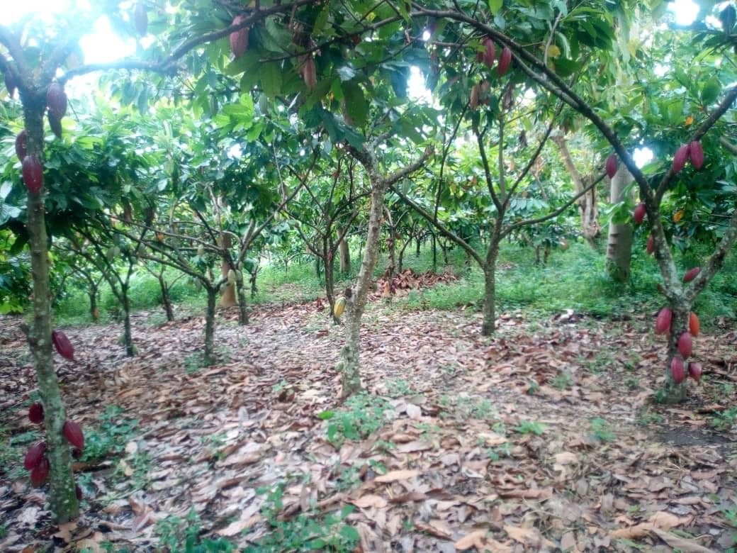
Both. Every plot in the network is mapped, including partner smallholder plots. Where a plot is under four hectares the regulation permits point coordinates, but we map polygons anyway because buyers increasingly ask for them.
Yes, and we would encourage it. Once the data pack is issued you can run the geometry against any satellite forest-cover dataset you use. That is the point of handing over geometry rather than a certificate.
The lot is decomposable to plot level, so the affected plot can be excluded and the lot rebuilt from compliant plots before shipment. This is only possible because segregation happens at fermentation, not at the port.
No. It is issued with the shipping documents for every contracted shipment.
Tell us your target profile, volume and destination port. Our export desk replies within two business days with available lots, a cut-test report and an indicative offer.